Wilcot and Huish with Oare
Parish Council Website
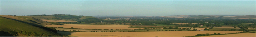
Huish maps
 Map of Savernake Forest including Oare & Huish Circa 1300. By kind permission of Wiltshire and Swindon Family History Centre.
 Map of Huish Farm and Village both below and on the Down 1751. By kind permission of Wiltshire and Swindon Family History Centre.
 Map of Huish with annotated proposed changes 1812. By kind permission of Wiltshire and Swindon Family History Centre.
 Map of Huish 1841. By kind permission of Wiltshire and Swindon Family History Centre.
 Map of Huish Parish – Date unknown
 Map 1898
 Map 1897-99
 Map 1940
 Map dated 1919